Topographic Surveys
in the Buffalo, NY Area
A topographic survey is a mapping of each surface feature of a specific property. The increase in elevation is shown using lines called contour lines. The closer the lines are together, the steeper that part of a property is. The more spread apart the contour lines are, the more gradual the slope is. A topographic map will also indicate vegetation and physical attributes such as streams and wooded areas. Manmade utilities will be marked as well.
Topographic maps can be used for several things, but it is mostly used for the planning of large construction projects. It is used as the foundation for any construction project because it provides detailed information on potential issues that a project may face. This information can save you from costly mistakes.
Topographic Survey Methods
Ariel
LIDAR and unmanned ariel vehicles/ drones are used to identify the contours of the target land.
GPS
Global positioning system mapping technology is a survey method for areas that do not require an ariel survey.
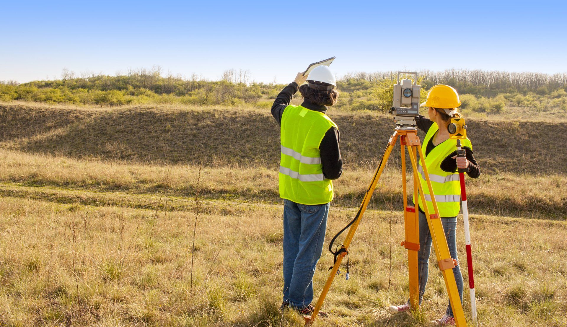
Total Stations
A field team will directly map each feature within the targeted area. This is the best option when tree and other vegetation cover blocks the other methods from being accurate. It is also a great option when more detailed information is required and there are unique geological features.
Contact Our Topographic Surveyor to Request a Quote!
True North Land Surveying PLLC is the professional topographic surveyor of choice for property owners throughout Buffalo, NY; Erie County, Niagara County, and the surrounding WNY areas. We provide detailed topographic maps to be used for large-scale construction projects. The information our survey maps provide are great starting points for your projects as they can identify any potential obstacles to your project.
Contact us today to learn more about the benefits of our topographic survey maps and request a quote!